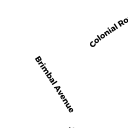
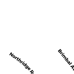
133 BRIMBAL AVE
Owner Information
133 BRIMBAL LLC
P O BOX 578
WENHAM, MA 01984


Property Details
133 BRIMBAL AVE is classified as a Medical Office Buildings (Office - pro).
The primary structure on this property was built in 1960. There are 48,853ft2 of built area within this property. There is 48,853ft2 of residential/living space within this property. There are 4 units within this property.
133 BRIMBAL AVE is valued at $4,759,500. The land is valued at $1,285,000 and the structures are valued at $3,424,800. There is an additional valuation of $49,700 on this property.
This property is in Zone IR. Confirm with local Zoning Board authorities to ensure there are no overlays or other easements on this property.
The most recent deed for 133 BRIMBAL AVE is recorded at the local registrar in Book 30915, Page 345. 133 BRIMBAL AVE was last sold on Monday, December 12, 2011 for $1.
Assessment data from fiscal year 2022.
Flood Data
According to the FEMA National Flood Hazard Layer, this property does not appear to be in a flood zone. It may also be in an area not yet reviewed. Nonetheless, confirm this information prior to taking any action.
To view the flood hazards around this property, create a FEMA "Firmette" Map of the area around 133 BRIMBAL AVE.
Broadband Internet Providers
| Provider | Type | Bandwidth (mbps) | |
|---|---|---|---|
| Verizon New England Inc. | DSL | 15 | 1 |
| Comcast | Cable | 1000 | 35 |
| McLeodUSA Telecommunications Services, LLC | DSL | 0 | 0 |
| VSAT Systems, LLC. | Satellite | 2 | 1 |
| HughesNet | Satellite | 25 | 3 |
| GCI Communication Corp. | Satellite | 0 | 0 |
| T-Mobile | Fixed Wireless | 25 | 3 |
| Viasat Inc | Satellite | 100 | 3 |
| MCI | Copper Wire | 0 | 0 |
| Crown Castle Fiber | Fiber | 0 | 0 |
Broadband service provider data from December 2020.
Adjacent Properties
- 131 BRIMBAL AVE
Fuel Service Areas - providing only fuel products owned by 7-ELEVEN INC - 143 BRIMBAL AVE
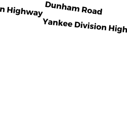
Fraternal Organizations owned by VITTORI-ROCCI POST 56 - 15 YANKEE DIVISION HGWY
Eating and Drinking Establishments - restaurants, diners, fast food establishments, bars, nightclubs owned by GLOBAL MONTELLO GROUP CORP